Ever since we hiked Jackson and I was pointing out the names of some of the other nearby peaks to Alex he thought "Tom" was a very funny name for a mountain and wanted desperately to go and "see whats on top". So, while we were camping for the week on Conway Lake we decided to go see what is on top of Tom.
We got to the trail head later than I wanted, partly due to Tom being on the opposite site of the WMNF as Conway Lake and the other because I took Bear Notch Road instead of just going up to Bartlett from North Conway. But we started out pretty early, still first on the trail.
The trail starts out pretty easy with a gradual climb up. We spent some time around Beecher and Pearl Cascades exploring the area. The rocks were wet so we couldn't get too far out into them, but ended up backtracking up and down and around a couple times before continuing on. The water is relatively low this time of year but any falls and cascades like these are still nice to visit. The time spent here put a real dent in the probability of also being able to hike Mt Field, but I'd rather see all the sites along the way and miss a mountain then finish and say we bagged 2 peaks instead of one.
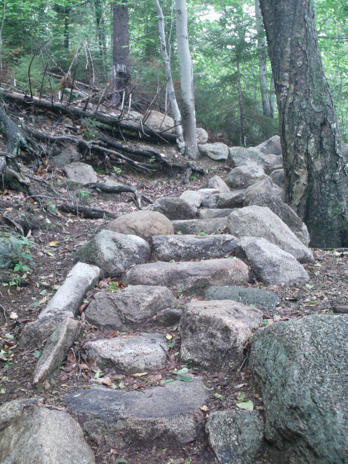
After the cascades we continues up the trail and it gradually got steeper but not too bad, still a relatively easy hike. We played lots of games, some of them made up, while hiking. Guessing colors, animals, trees and numbers. A few people passed us on the way up, but not too many. We reached the Mt Tom Spur trail junction, took a time check and plenty of time to ascend the summit. The trail got a bit harder here nothing compared to the final part of Jackson that we did earlier. The summit itself was not all that spectacular, found a cairn on one of the trail forks and took some pictures. It seems like the highest point. The summit is mostly wooded with short trees. A trail to the left headed to a geocache which we found easily. The trees there were about 4 feet tall so completely over Alex's head but there was a very good view west and North. I picked Alex up so he could see and "WOW!" was his response! There was also a trail diverging to the right to a bench where we sat and ate lunch with great views of the Presidentials. We could see Jackson and Webster where we hiked last time.
Before we had much of our sandwiches eaten a dog came along, sat down, and did his best to guilt us into giving him some food. After a few minutes his owners came along: a mother and her 2 kids who were also working on the 4000 footers. We chatted with them for a while and Alex and her son compared their Cambacks. They snacked and left, we finished our sandwiches and 2 other ladies came in and sat down. There was a canister under the bench with a log book in it which I signed. Dont think it was a geocache, but signed the log anyway. Chatted with the ladies and back down we went.
The plan was to look at the clock and see if we had time to do Mt Field or head back down and make the decision when we reached the junction of the Mt Tom Spur and A-Z Trail junction. We were about a half hour past where I wanted to be, probably should have headed down but Alex wanted to hike Mt Field (as did I!) so we continued 100 yards down the trail and then made the left up Willey Range trail to Mt Field. Ran into a few more people, but still pretty quiet. This part was a steady climb up to Mt Field. Alex started to get tired and want to rest but given the time I knew we had to push on or end up hiking in the dark. We did take a couple snack breaks on that section, reached the summit of Field - another forested and viewless summit but took our customer summit photos and made our way to an outlook down a short path to the north where we sat down and took a longer break and finished off our bananas. There were great views north and east. We were also visited by several Gray Jays just like we saw on Jackson. We just had to have them eat of our hands again and I even put some bread on my head and had one land and take it away (was wearing a hat). Gave Alex my hat and got the birds to land on his head as well - pretty neat.
The time was not looking good at all so we headed back down the trail towards Mt. Avalon. We ran into the same ladies we saw on top of Mt Tom again, they had taken a wrong turn and were heading up this trail to Field. This was rather steep and slippery and slow going. Glad we were heading down this part instead of up! Mt. Avalon is a very short spur path and from the guide book it affords much greater views than either Tom or Field so I wanted to head up there as well. And as advertised, the views from Avalon were the best looking up and down Crawford Notch. We ran into the ladies a third time and they took our picture at Avalon as I was pointing out the summits of Field and Tom to Alex that we just finished climbing.
At this point given our very slow pace we were looking at hiking after sunset for an hour so I stressed to Alex that we need to get down as fast as we can while still being safe. I had to get him to stop talking (which is EXTREMELY difficult) as he hikes faster that way. His response, "But daddy, I try but I just can't stop talking!" But he did stop talking and we cruised along very fast (for us) and manged to get down about a half hour before sunset.
This was Alex's longest hike so far, took us a whopping 11+ hours! But we tend to see all the sites along the way, hang out at the views for extended times, explore the waterfalls, etc. which makes it all worth it.
Two 4000 footers on this trip and time wise probably the limit that I'd want to take Alex on as the last couple hours I had to really push him to finish in time. We'd be better off tackling shorter hikes that we can enjoy more w/o rushing. Although this hike was still great, and a total of three 4000 footers done so far!
(camera will not focus after *someone* dropped it on Jackson - this trip was the last with that camera!)
 |
| Sunrise from our campsite before we left |
 |
| Summit of Mt Tom |
 |
| Summit of Mt Tom |
 |
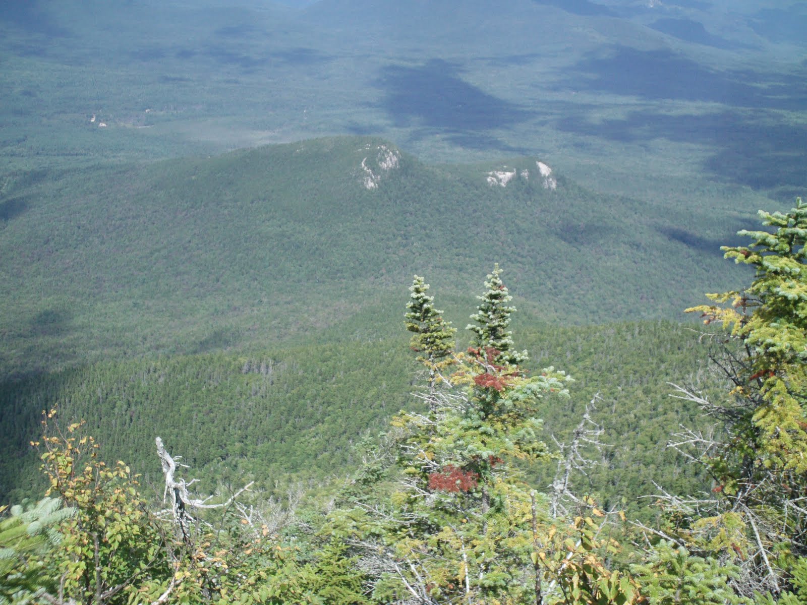
| Field from Tom |
 |
| Mt Field Summit |
 |
| Mt Field Summit |
 |
| Gray Jay landing on Alex's Head |
|
 |
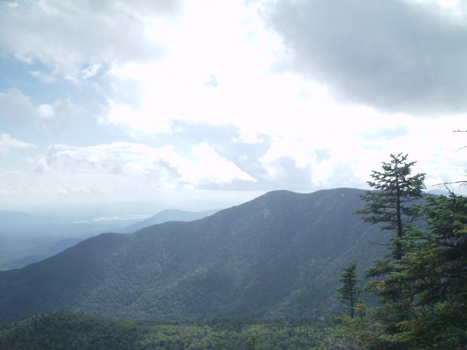
| View from Avalon |
 |
| Top of Avalon pointing to Tom and Field |


