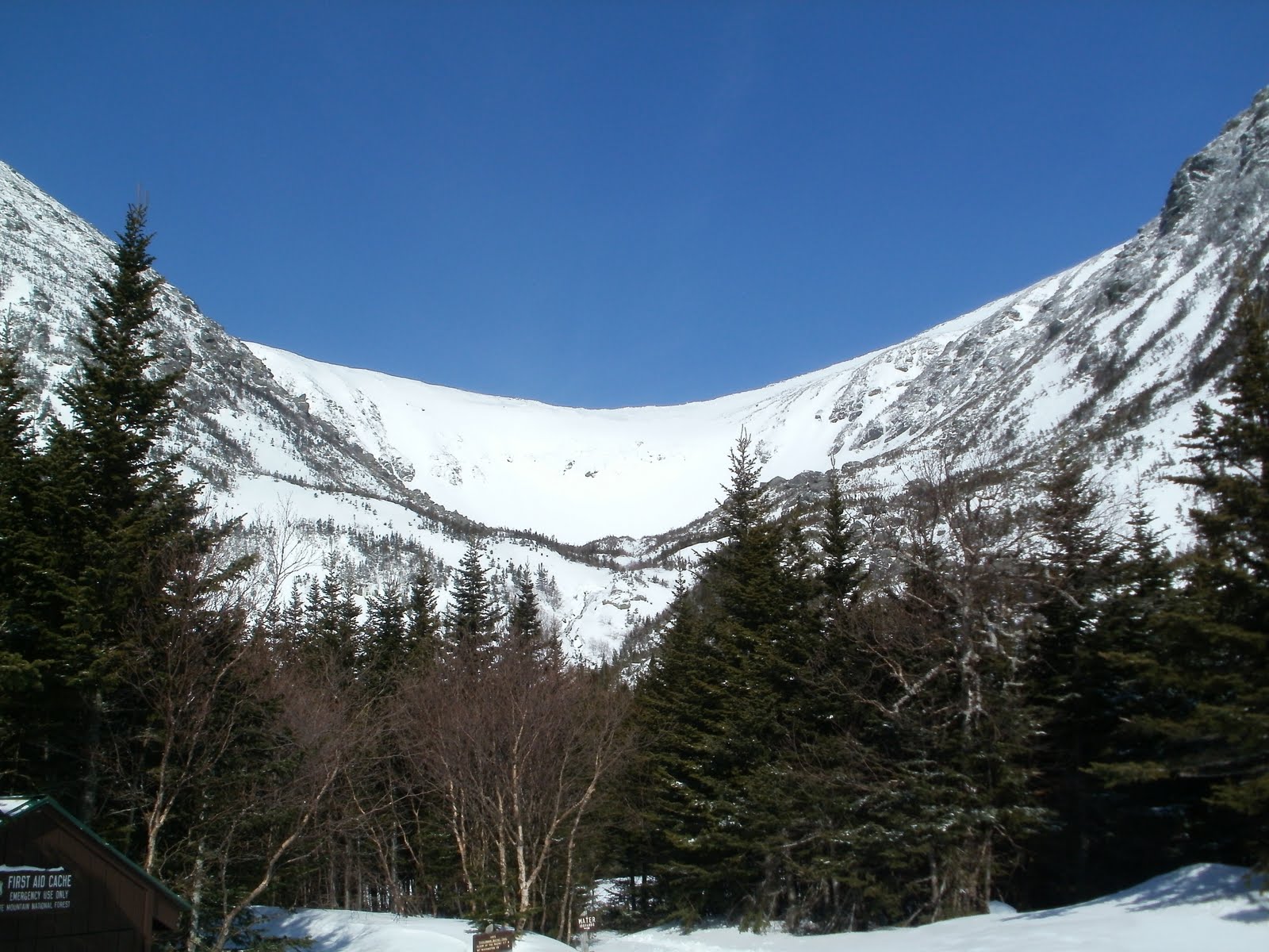
New job has Good Friday as a holiday and Denise had to work and Alex had school so with a weather report of lots of sun, why not head up for the Spring Ritual at Tuckerman?
Drove up Thursday night and spent the night in a hotel near the scenic overlook area in North Conway. Clarendon Inn, got there and no heat in the room. Had to turn up thermostat and a few hours later it was warm, but I made reservations, they knew I was coming, so why not turn on the heat BEFORE I got there?
Set alarm for 5am, got up at 5:30, and got to Pinkham Notch at 6:35 and parked right at the end of Sherburne Trail. Alf said he was going to be up there the night before and going to get up early and head up to summit. So I figured I might see them at the lunch rocks when I get up. I got to Hojos around 8:15 or so (not sure how I made it so quick with 46 lbs of skis, boots, clothes, and lunch on my back) and checked for the hell of it to see if Alf was still at lean to - yup - not as early up as me!
Rested at picnic tables, ate a sandwich and ranger guy gave a talk about the current snow conditions and avalanche report. Was low in the left and right, but moderate on the headwall. He said to even get up right gully area, would still need crampons and ice axe or wait until the afternoon when there is an established boot trail and the snow softens up at which time the entire bowl should be at low rating. Crampons? Um, don't have any of those.
We headed up to the ravine, put on boots at lunch rocks and headed up right gulley. Well, they did, I was white knuckled and barely able to hold on getting more and more nervous on each step. Alf said it would be best for me not to head up w/o crampons but I figured I would try and stop if it gets to hairy. Well, it did about 100 yards up so I put on the skis and skied down some fresh snow back to lunch rocks.
I waited a bit and wached a comedy of fools try what I tried and constantly sliding all the way back down. I waited until a sufficient number of people made it up the sluice area and a boot track was established so up I went. Made it up fine, up over the ravine and towards the summit. According to GPS, was .4 miles and 800 feet in elevation from actual summit, but that was enough I could see the headwall below and it was calling my name. This is the 3rd time I have skied Tuckerman. The first was June of 1994 and the snow was so low you couldn't possibly ski headwall if you tried, so we climbed up the Chute and skied that - scary. Then 10 years ago I was back up in the snowfields looking down at the headwall like now, but I was so out of shape and tired and my legs were burning and barely any strength that I skipped the headwall and headed down Lobster Claw instead - not that it is any less steep, but it might be - certainly less intimidating. But this time, I felt great, plenty of strength, energy and nothing was going to stop me.
Well, maybe the open waterfall crevasse on the headwall but if you say way to your left heading down, not a problem. And as advertised, as you approach the lip - you can't see what is below since it is so steep until you are there. Dropped down, bunch of turns, purely in self preservation mode rather than "skiing" - 45-60 degrees pitch depending on snow pack is what I read - and steep it certainly was. But made it down w/o a problem. Headwall/Lip finally conquered followed by a long rest at lunch rocks watching more fools and some skiers/boarders head down with varrying success.
Others went back up but I accomplished what I wanted, didn't want to push myself since I still had to ski down Sherburne, had no crampons and hike up w/o is still sketchy so I agreed to meet them back at Hojos for happy hour. But I missed the turn off to Hojos on Sherburne trail so I just kept going. And skied to within about 6 feet of my front bumper. With the exception of a 200 foot walk at the top where there was not enough snow cover (and open water) near little headwall was able to ski all the way down. Sherburne is starting to get some bare spots, some good moguls, but still covered plenty enough to ski. Though a few more warm days and I bet they will be closing some of it off. When the snow starts going, it can go quick.
Other than a real nasty sunburn (blistered up on saturday) had a great day of skiing. Felt great, made it up quick, didnt get too tired - its a miracle what I little weight loss will get ya! Next year I plan on staying active hiking and back country skiing through the winter to stay in shape better than this past winter as this was the first strenuous activity since hiking last fall. And probably the most strenuous of anything I'll do all summer.
 |
| Sunrise reflecting off snow, about 6:00am |
|
 |
| There she is! |
 |
| untracked powder . mmmm.. oh, avalanche danger, maybe not yet |
|
 |
| est 1500-200 people there today |
|
 |
| Line heading up - "lip" just to left, route I took down |
 |
| Lip is plenty skiied off by now (my tracks in there somewhere - actually Lip is on far right, center is ice fall and center headwall - maybe when I was 18, not at 38, not yet...) |
|
 |
| The Lip - doesn't look all that bad from this angle - should have taken a photo while I was hiking up or looking down from top |
|